Trocha aktualizovaných mapových podkladů pro GME...

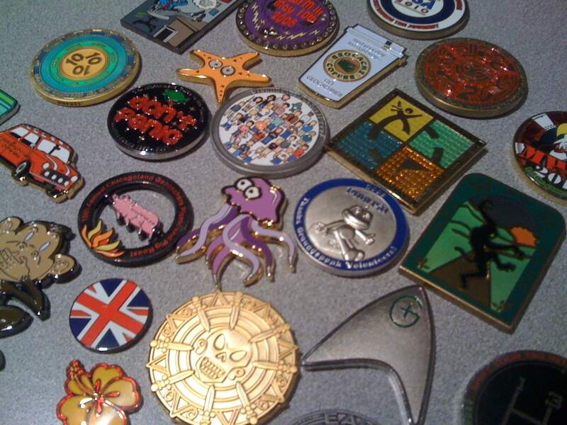
Říká se jim různě - předměty putovní, trackovatelné, trasovatelné, travely, či puťáci. O čem je řeč? Jedná se o věci, které na první pohled mohou vypadat jako cosi k výměně.

Postup jak zprovoznit Geocaching Map Enhancements najdete třeba na GeoTřebíčské Wiki


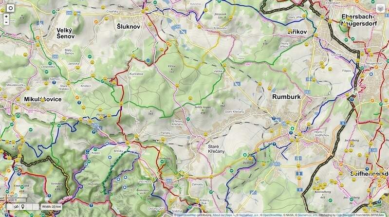
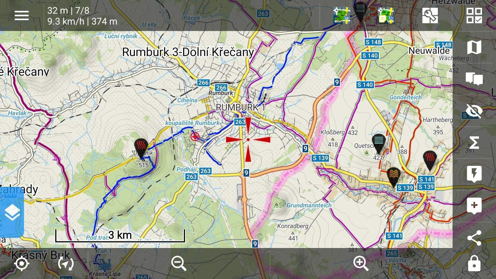
Je libo upravené mapy na portálu geocaching.com ?
Zvládnete to pomocí skriptu Geocaching Map Enhancements, fungující na GreaseMonkey (FireFox), Violent monkey (Opera) nebo tampermonkey (Chrome)
{"alt":"Map1.EU","tileUrl":"http://beta.map1.eu/tiles/{z}/{x}/{y}.jpg","minZoom":5,"maxZoom":15,"attribution":"Maps from Map1.EU and contributors CC-BY-SA","ignore":false}
{"alt":"MTBmap.cz","tileUrl":"http://tile.mtbmap.cz/mtbmap_tiles/{z}/{x}/{y}.png","minZoom":1,"maxZoom":18,"attribution":"","ignore":false}
{"alt":"Freemap.sk Basic","tileUrl":"http://tiles.freemap.sk/A/{z}/{x}/{y}","attribution":"","ignore":false}
{"alt":"Freemap.sk Hiking","tileUrl":"http://tiles.freemap.sk/T/{z}/{x}/{y}","attribution":"","ignore":false}
{"alt":"Freemap.sk Cycling","tileUrl":"http://tiles.freemap.sk/C/{z}/{x}/{y}","attribution":"","ignore":false}
{"alt":"MTBmap.cz","tileUrl":"http://tile.mtbmap.cz/mtbmap_tiles/{z}/{x}/{y}.png","minZoom":1,"maxZoom":18,"attribution":"","ignore":false}
{"alt":"Google Hybrid", "name":"Google Hybrid", "tileUrl":"http://mt{s}.google.com/vt?lyrs=y&x={x}&y={y}&z={z}&scaleControl=true", "attribution":"Google Maps", "minZoom":0, "maxZoom":21, "tileSize":256, "subdomains":"0123" }
{"alt":"Hike&Bike", "tileUrl":"http://toolserver.org/tiles/hikebike/{z}/{x}/{y}.png", "minZoom":6, "maxZoom": 15, "attribution":"Hike&Bike render by Colin Marquardt from OpenStreetMap data, CC-BY-SA","ignore":false}
{"alt":"OSM Transport", "tileUrl":"http://{s}.tile2.opencyclemap.org/transport/{z}/{x}/{y}.png", "minZoom":6, "maxZoom": 15, "attribution":"Maps from OpenStreetMap and contributors CC-BY-SA","ignore":false}
{"alt":"Google labels","tileUrl":"http://mt1.google.com/vt/lyrs=h@218000000&hl=en&src=app&x={x}&y={y}&z={z}&s=","overlay":true,"attribution":"Google Maps","ignore":false}
{"alt":"Stinovani", "tileUrl":"http://toolserver.org/~cmarqu/hill/{z}/{x}/{y}.png", "attribution":"Hillshading by Colin Marquardt from NASA SRTM data", "overlay":true, "ignore":false}
{"alt":"Turisticke trasy", "tileUrl":"http://tile.lonvia.de/hiking/{z}/{x}/{y}.png", "attribution":"Cycle routes by Lonvia and OpenStreetMap, CC-BY-SA", "overlay":true, "ignore":false}
{"alt":"Cyklotrasy", "tileUrl":"http://tile.lonvia.de/cycling/{z}/{x}/{y}.png", "attribution":"Cycle routes by Lonvia and OpenStreetMap, CC-BY-SA", "overlay":true, "ignore":false}
{"alt":"MTB trasy", "tileUrl":"http://tile.lonvia.de/mtb/{z}/{x}/{y}.png", "attribution":"Cycle routes by Lonvia and OpenStreetMap, CC-BY-SA", "overlay":true, "ignore":false}
{"alt":"Inline trasy", "tileUrl":"http://tile.lonvia.de/skating/{z}/{x}/{y}.png", "attribution":"Cycle routes by Lonvia and OpenStreetMap, CC-BY-SA", "overlay":true, "ignore":false}